Mountain weather and road conditions in Georgia
Hourly forecast and road conditions: Kazbegi, Jvari Pass, Gudauri, Svaneti, Bakuriani and Tusheti.
Mountain weather today: loading…
Working out the best time and place from the latest forecast.
Mountain weather map for the week
Pick a layer and a day to see hour-by-hour weather at every mountain spot

Road closures today
Official notices of the Roads Department of Georgia, refreshed every 10 minutes
Swipe to move the map
Loading…
Source: georoad.gov.ge · hotline 032 2 31 30 76
Weather in Georgia’s regions right now
Current weather in the centre of each region. Tap a card to open the detailed forecast
Best mountain tours
Kazbegi and Svaneti with a local guide: hiking, jeeps, glaciers and lakes. Tour languages: Russian, English, Georgian.

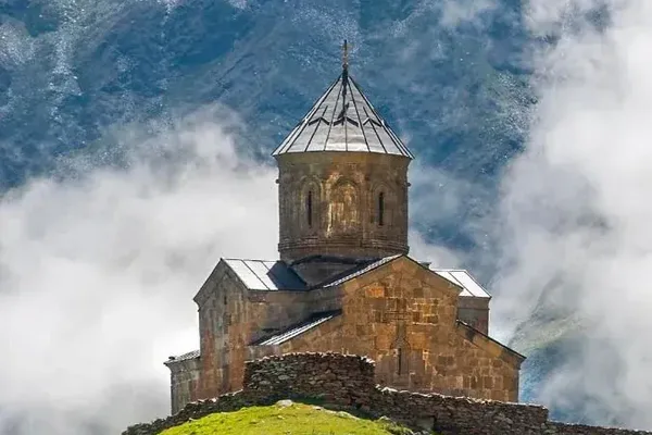
 9.2291 reviews
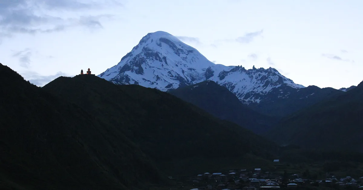
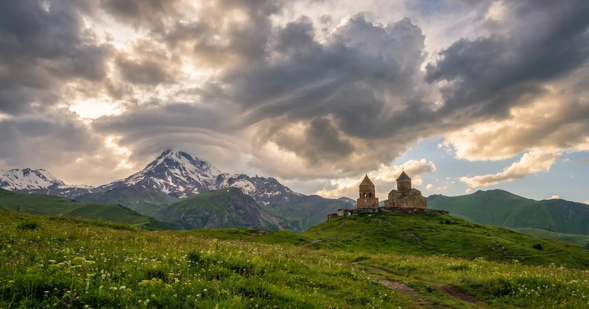
Horse Riding Tour in Stepantsminda (Kazbegi) — Riding to Gergeti
 9.0558 reviews
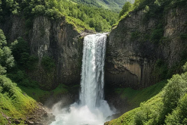
Gveleti Waterfall Hike from Kazbegi
 8.8304 reviews
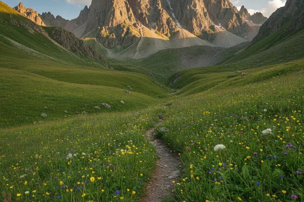
Juta to Chaukhi Hike from Kazbegi
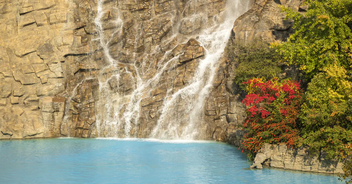
 9.6911 reviews
Truso Valley Trek from Kazbegi
When and where to go today
The best forecast window for each mountain spot and a route to it
Loading the forecast…
16-day forecast
Pick a spot, then hover over or tap the chart to see the details
Temperature for 16 days
High and low for each day
Next 3 days, hour by hour
Temperature and precipitation hour by hour
Overnight tours in the mountains
Gudauri, Kazbegi, Svaneti and Bakuriani: route, guide and transport in one booking
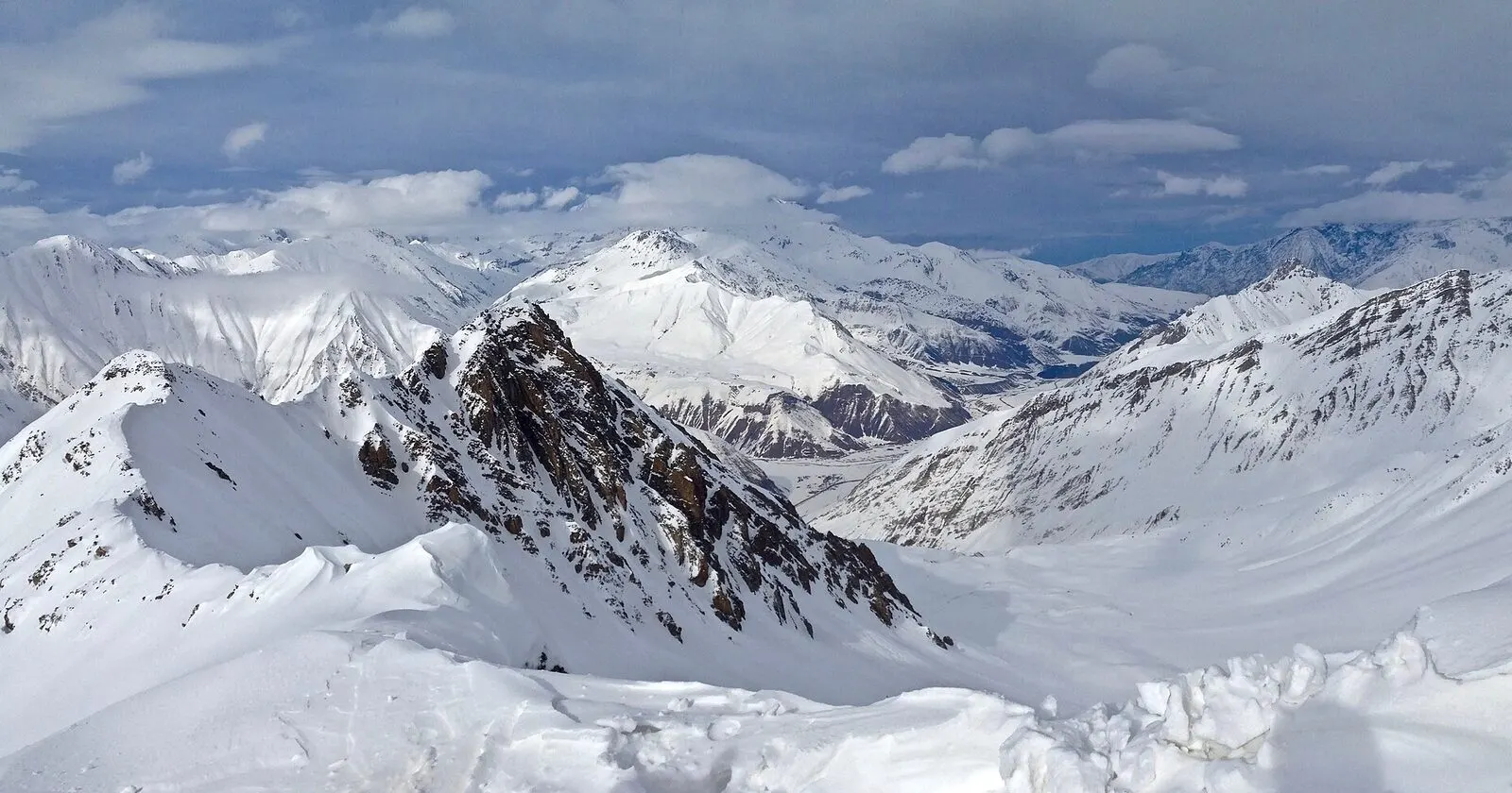
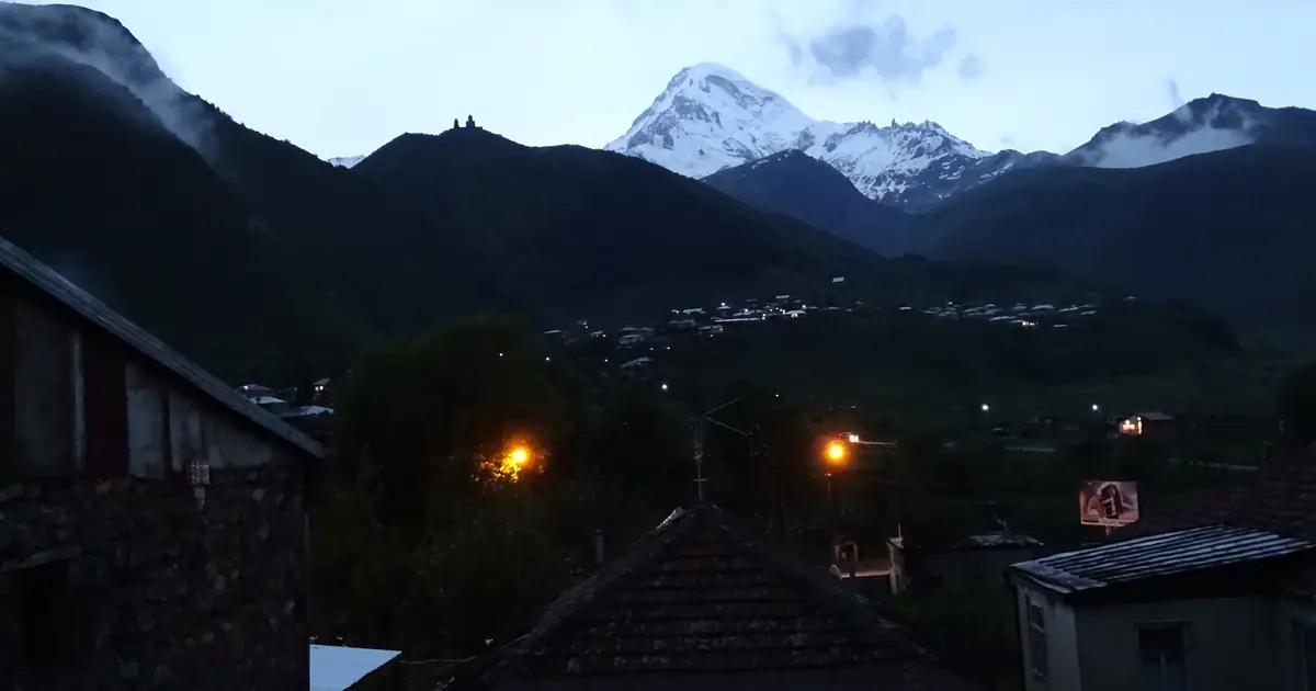 9.0558 reviews
Gudauri & Kazbegi 2-Day Winter Tour
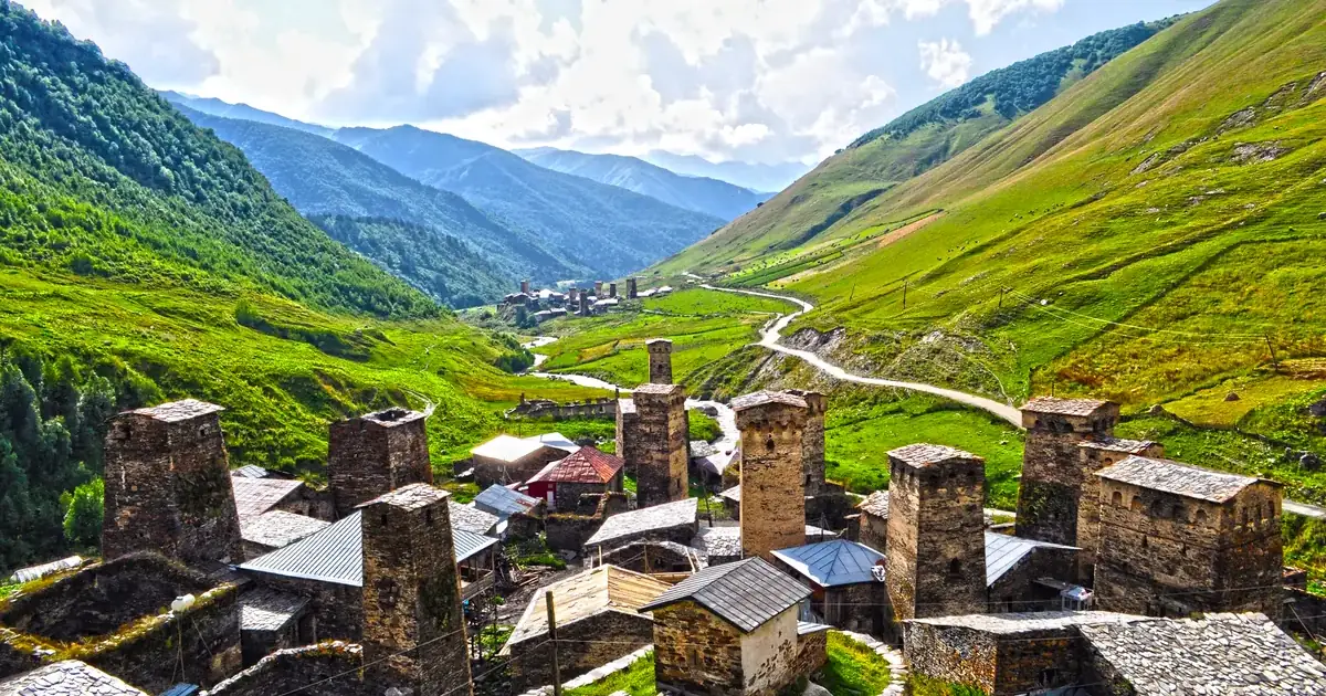
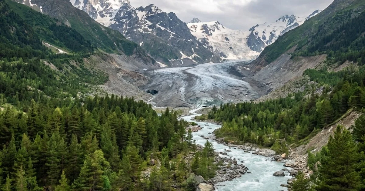
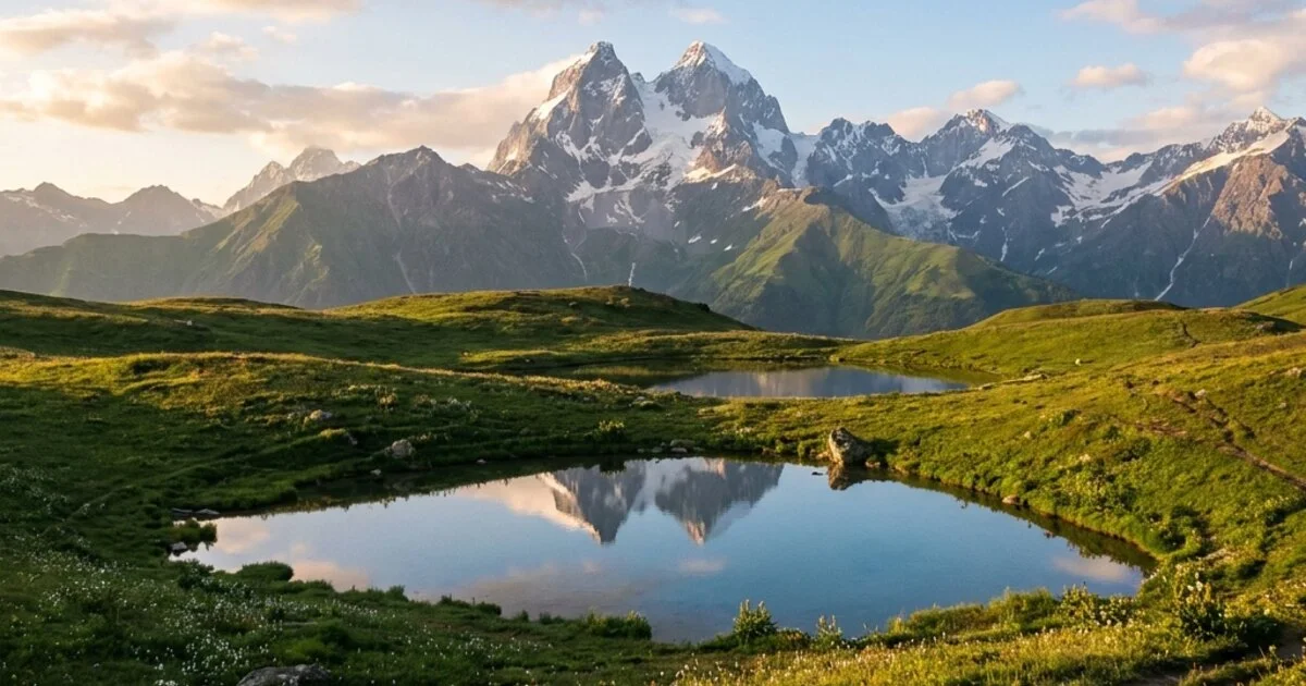
 8.8304 reviews
Svaneti Tour
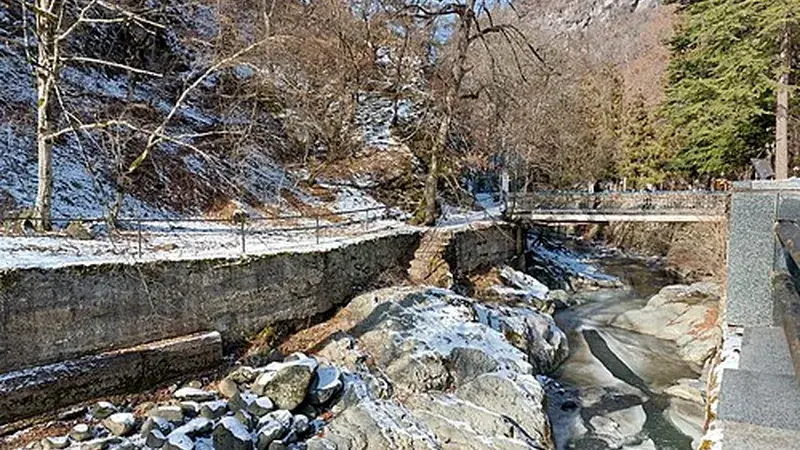
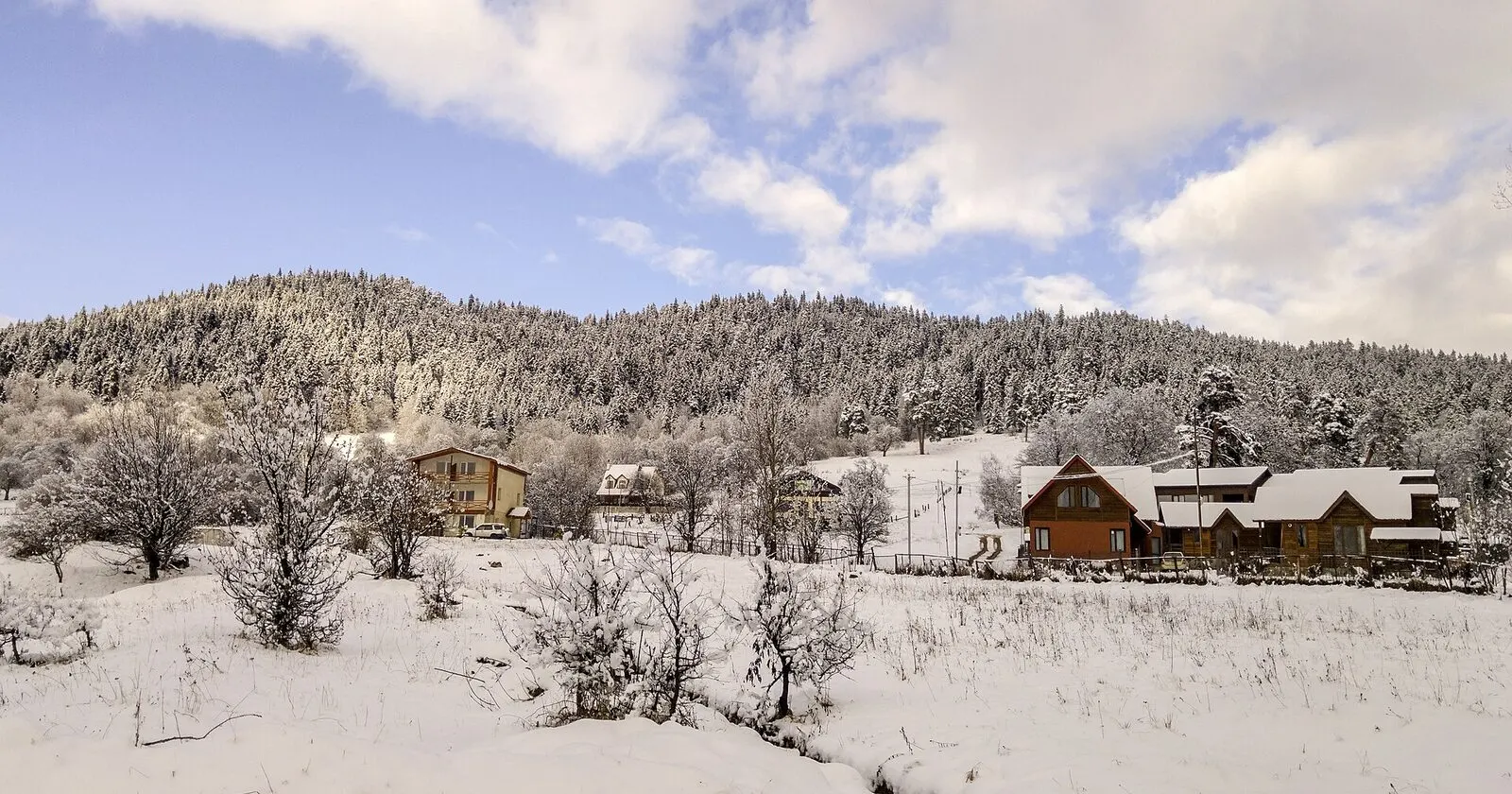
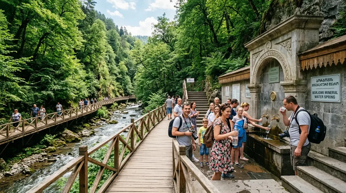
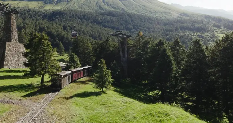 9.4351 reviews
Borjomi & Bakuriani 2-Day Winter Tour
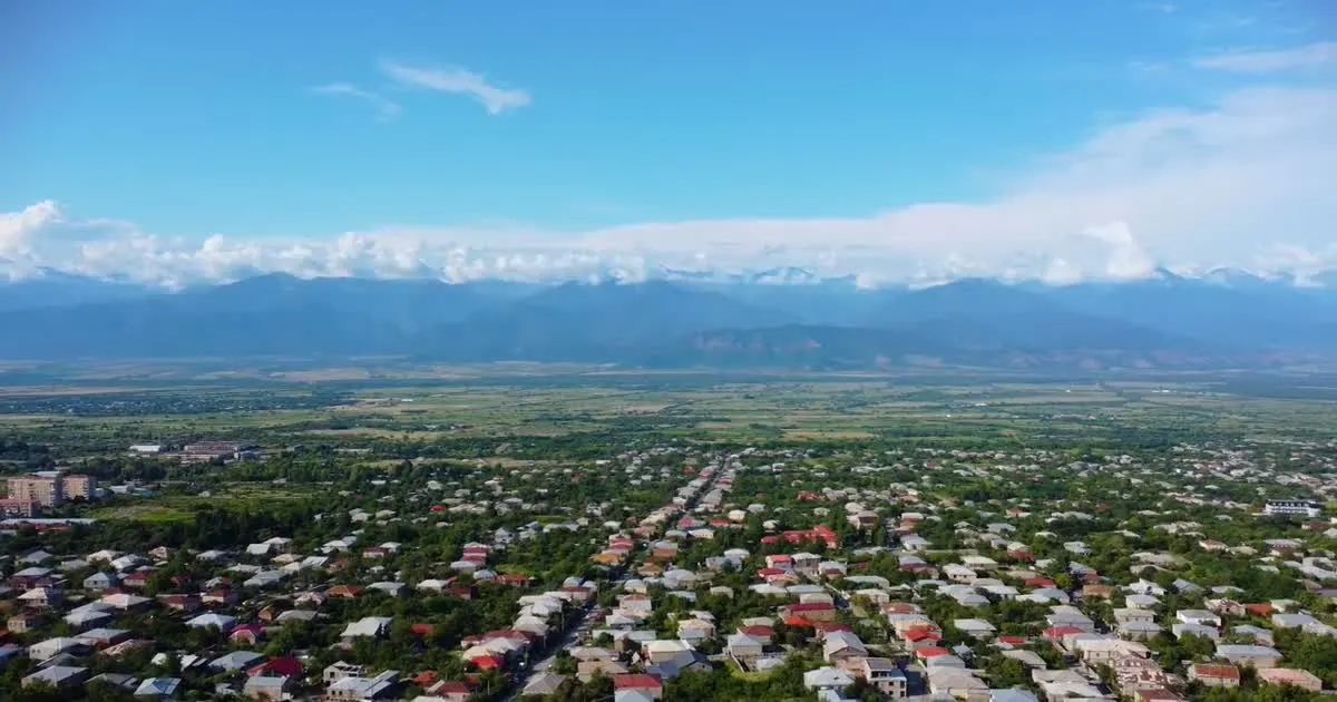 9.6793 reviews
Kazbegi and Kakheti 2-Day Tour
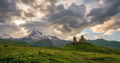
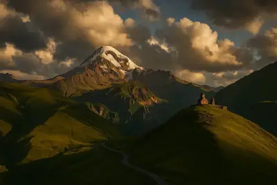
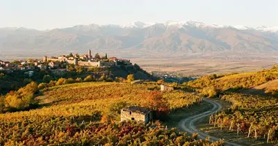
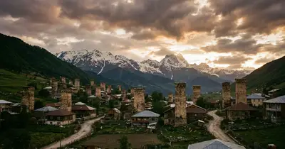
Photos of Georgia’s mountains
Kazbegi, Gergeti and Svaneti — from our tours
Sun and Moon
Daylight decides how much you can do in the mountains, and the Moon how dark the night will be for stargazing
Sun
Set off early enough to come down from the passes before sunset: mountain roads are noticeably more dangerous in the dark.
- Sunrise
- —
- Sunset
- —
- Daylight
- —
Moon
At new moon the Milky Way is clearly visible in Kazbegi and Tusheti; at full moon the mountains are bright even without a torch.
- Phase
- —
- Illumination
- —
- Next full moon
- —
Articles about Georgia’s mountains
When to go, what to pack and how to get there
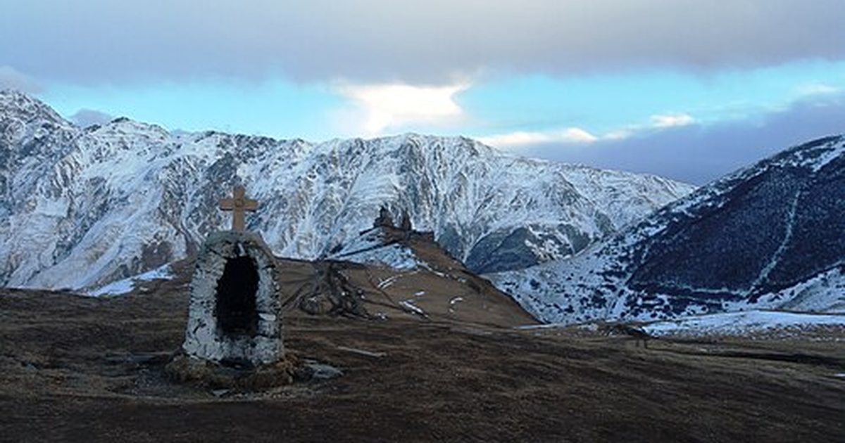
Kazbegi in winter 2026–27: down to -10°C, road closures, what to pack, pros and cons of the off-season. Guided day trip from Tbilisi from ₾175 per person.

Best time to visit Kazbegi: month-by-month temperatures, October and November conditions, crowds and road closures — from a local guide.
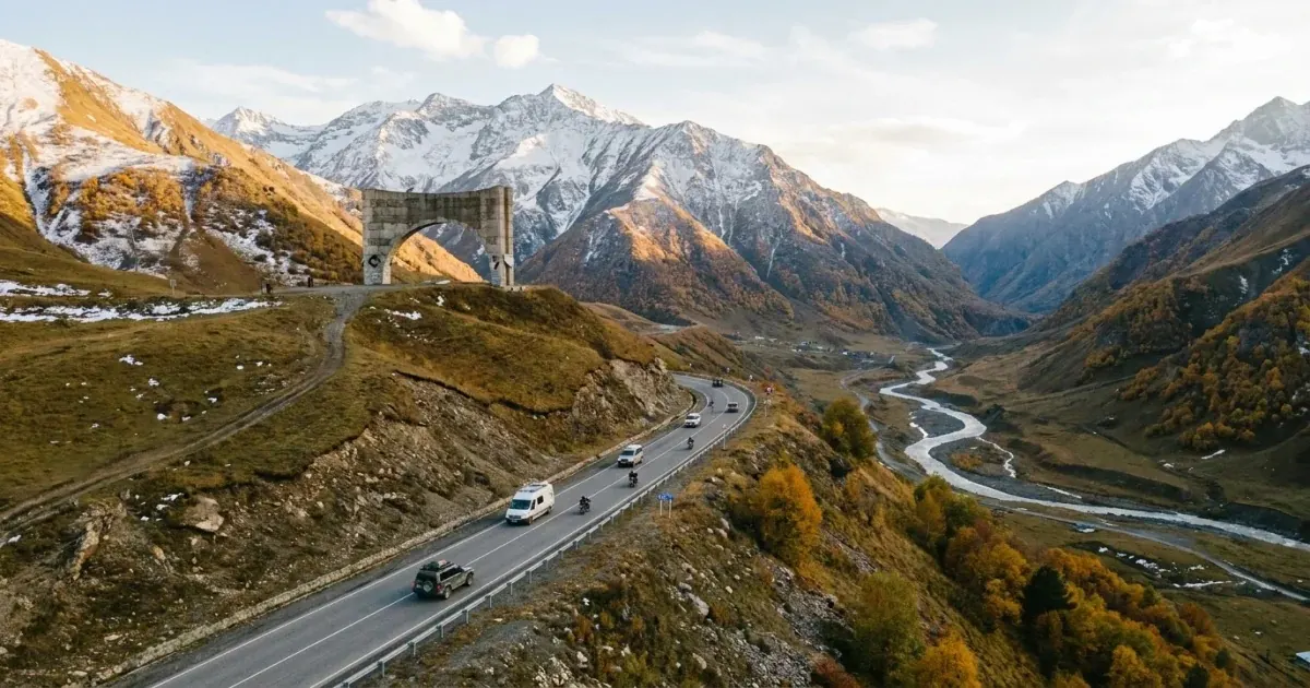
Georgian Military Highway 2026: Ananuri, Gudauri, Cross Pass (2395m), Gergeti Church. Drive time, best stops, safety tips — by a guide who drives it weekly.
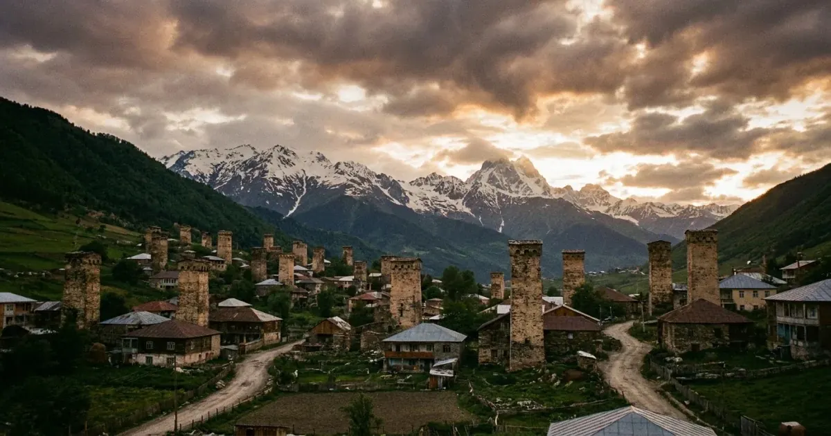
Svaneti from Tbilisi: medieval towers, UNESCO Ushguli village, Mestia, how to get there, how many days, what to eat.
Mountain weather in Georgia: what to know
In Georgia’s mountains the weather depends on altitude: for every 100 m of climb the air is on average about 0.6 °C colder, so the Tbilisi forecast does not work for Kazbegi, Gudauri or Ushguli.
Read more
Hiking season in Kazbegi and Svaneti runs from late May to October; the ski season in Gudauri, Bakuriani and Goderdzi is usually December to March. The road to Tusheti over the Abano Pass is open only in summer.
The forecast on this page refreshes every time you open it. For each spot it is calculated at that spot’s altitude, and the day status shows how comfortable the trip will be: precipitation, wind, visibility and cloud cover.
Questions and answers
Where does the forecast data come from?
From the open Open-Meteo service: it combines global and regional weather models and updates every hour. The forecast is calculated for each spot’s altitude, so in Gudauri and on the Jvari Pass it is colder than in Tbilisi.
What do the statuses “Excellent”, “Good”, “Caution” and “Poor” mean?
“Poor” means precipitation from 2 mm per hour, snow from 1 cm per hour, wind gusts from 60 km/h or visibility under 1 km. “Caution” means precipitation from 0.3 mm per hour, gusts from 40 km/h, visibility under 5 km or cloud cover from 90%. “Good” means cloud cover from 50%. Everything else is “Excellent”.
How accurate is the mountain forecast?
Mountain weather changes faster than in the city. For 1–3 days the forecast is reliable for planning a trip; beyond that it shows the general trend: warm or cold, dry or snowy.
Will the road to Kazbegi over the Jvari Pass be open?
In heavy snowfall or when avalanches threaten, the stretch of the Georgian Military Highway near the Jvari Pass is closed temporarily. This page shows the risk from the snow forecast; the official road status is published by the Roads Department of Georgia at georoad.gov.ge.
When is the best time to set off for the mountains?
Usually in the morning: clouds and precipitation in the mountains tend to build up after midday. The “When and where to go today” table shows the best forecast window of the day for each spot.
More things to do in Georgia
Book everything for your trip with a local team from Tbilisi